



California’s Most Dangerous Intersections for Car Accidents (And Why)
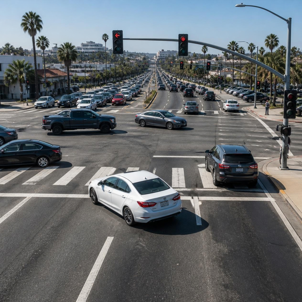
Some intersections are simply more dangerous than others, and the data backs it up. Analyses of California collision records compiled through the Statewide Integrated Traffic Records System (SWITRS) consistently point to the same patterns and the same general locations year after year.
Southern California Dominates the List
Studies analyzing hundreds of thousands of California crash records have repeatedly found that the vast majority of the state’s most dangerous intersections sit in Southern California, with Los Angeles alone accounting for roughly half of them. The Northridge area of the San Fernando Valley intersections like Devonshire Street and Reseda Boulevard has shown up at or near the top of these rankings across multiple studies.
What Makes These Intersections So Dangerous
- Wide, multi-lane boulevards that function like mini-freeways, encouraging higher speeds than the surrounding area can safely handle
- Heavy commercial activity nearby shopping centers and retail corridors that draw constant turning traffic
- High volumes of both vehicle and pedestrian traffic converging in the same space
- Complex signal timing or visibility issues that increase the odds of a driver misjudging a gap
It’s Not Just Intersections, Certain Roads Are Riskier Too
Separate research looking at fatal crash locations across California’s highway system has found that stretches of interstate, particularly through fast-growing high desert and inland areas, account for a disproportionate share of fatal collisions. Long, high-speed stretches with limited enforcement tend to be where the most severe crashes cluster, even if they don’t generate as many minor collisions as busy urban intersections do.
A Note on the Data
These rankings typically come from analyzing large sets of California collision records through the Statewide Integrated Traffic Records System (SWITRS), scoring each intersection using a combination of total crashes, injuries, and fatalities. The specific rankings shift somewhat as new data is analyzed, but the underlying pattern, heavily commercial, wide, high-speed boulevards concentrated in Southern California has stayed remarkably consistent across multiple independent studies over the years.
What This Means If You’re Driving in a High-Risk Area
- Leave extra following distance on wide boulevards where traffic tends to move faster than posted limits suggest
- Be especially cautious near shopping centers and retail corridors with heavy turning traffic
- If you’re involved in a crash at a known high-risk intersection, that history can sometimes support an argument about inadequate road design or signage
Knowing which roads and intersections carry the highest risk won’t prevent every accident, but it’s a useful reminder that some of California’s collisions aren’t just bad luck they’re the predictable result of how certain roads are built and used.
Contact LAW OFFICES OF SHEENA RUDE today to schedule a free consultation: (818) 658-3700 | (408) 317-2550 | (858) 247-2724